Summary
Bedrock Target analysis for ROV Rockdrill sampling and existing sample stratigraphic and mineralogical verification: Part 2 (BeTar_Drill2)
Through traditional field geological mapping and exploration, Ireland has a well-defined geological map, made publicly available through the Geological Survey, Ireland (GSI) download portal. However, 90% of Irelands territory, and therefore natural resources, is submarine. Although much of this submarine territory has been mapped through the INFOMAR (Integrated Mapping for the sustainable development of Ireland’s marine resource) programme, given the costly- and weather-dependency of marine sampling and imaging, there is a relative paucity of information about Irelands offshore geology when compared to that of the terrestrial area.
Aims
This project aims to a) determine the proof of concept of ROV-acquired bedrock samples from the Porcupine Bank Canyon (age dating, petrography, raman spectroscopy, fluid inclusions); b) develop a certainty map showing areas of potential vertical bedrock exposures for offshore Ireland and; c) reappraise local-regional scale offshore geology based on new findings.
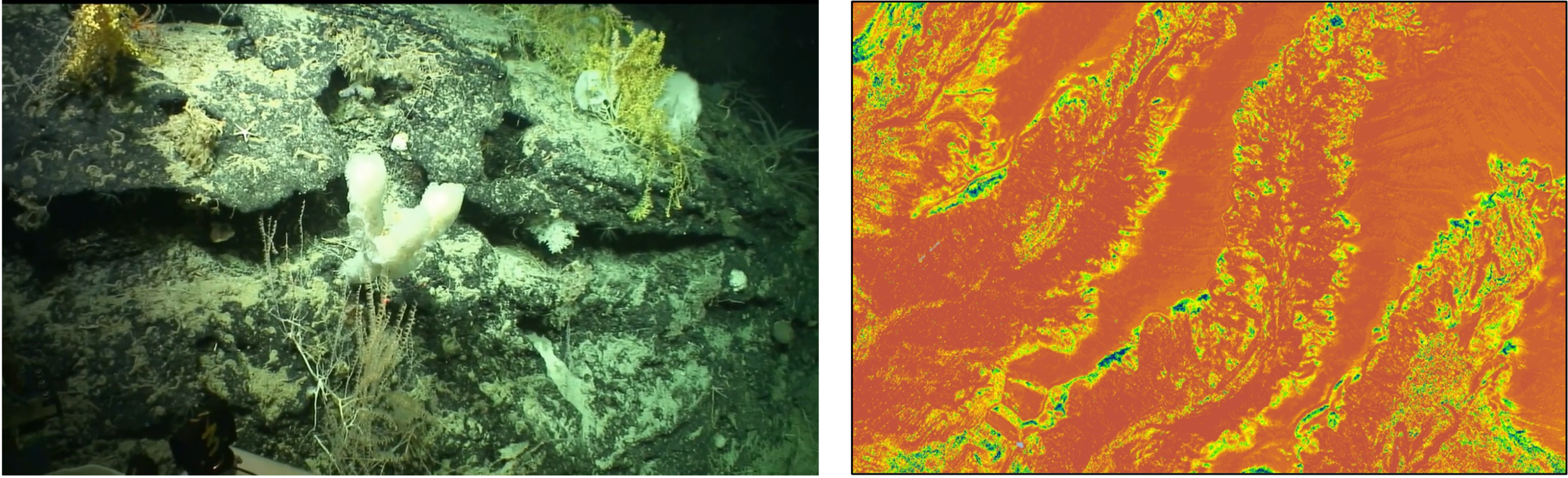
Right: bedrock from Porcupine Bank Canyon; Left: Bedrock suitability index map from the area
Contributors
Dr. Aaron Lim (Co-PI)
Prof. Andy Wheeler (PI)
Dr. Pat Meere (Co-PI)
Ruaihri Strachan (MRes)
Dr. Audrey Recouvreur (Post Doctoral Researcher)
Dr Richard Unitt (Co-PI)
Funded By
Petroleum Infrastructure Programme Project IS18/04b
Marine Geosciences Research Group
University College Cork
Contact us
School of Biological, Earth and Environmental Sciences, North Mall Campus, University College Cork, North Mall, Cork City, T23 TK30