Summary
Multi-Criteria Decision-Making and Constraint Mapping supporting Irish West Coast Offshore Floating Windfarm Development Options (Donegal FLOWEnergy MCDS)
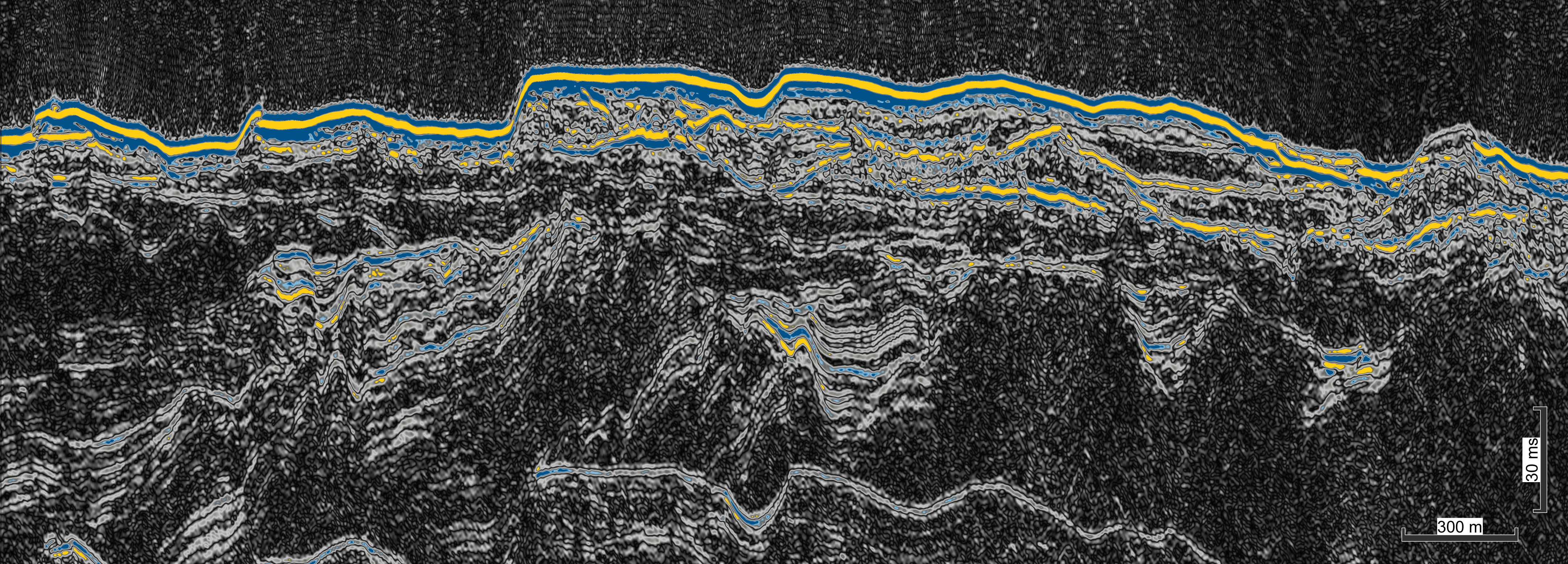
Donegal FLOWEnergy MCDS develops new GIS-based multi-criteria based tools to assess spatial opportunity and constraint data assessments to determine optimal site development opportunities for floating wind energy devices in the NW Ireland Broad Area of Interest offshore Donegal. Funded by SFI through iCRAG in conjunction with Hexicon AB, this project will remain in the public domain and, through engagement with stakeholders (e.g. including the Irish Whale and Dolphin Group and Killybegs Fisheries Organisation), will visualise spatial parameters pertinent to floating wind farm development and , through statistical analysis, highlight areas of optimal and sub-optimal development potential. Through transparency, it is hope that data outputs will be a pathfinder assisting government licencing in the NW Broad Area of Interest.
Aims
1. Collation and Standardisation of the most up-to-data public and private GIS data layers for FLOW parameterisation.
2. Multi-criterial Decision Support Tools development, stakeholder weighting, statistical analysis and visualisation.
3. Innovative value-added product development addressing stakeholder needs.
Contributors
Prof. Andy Wheeler (WP Leader)
Jason McFadden (Research Assistant/GIS analysist)
Dr. Mark Coughlan (Researcher)
Marine Geosciences Research Group
University College Cork
Contact us
School of Biological, Earth and Environmental Sciences, North Mall Campus, University College Cork, North Mall, Cork City, T23 TK30