First national map reveals where Ireland’s coast is most exposed to erosion and flooding
8 Sep 2026
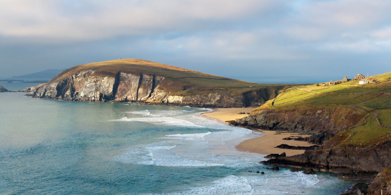
The first national map of Ireland’s exposure to climate hazards, including rising sea levels and storm surges, has identified the stretches of coastline facing the greatest pressures, providing critical new evidence to support coastal management and climate adaptation.
UCC Futures
Todhchaíochtaí UCC
Contact us
Office of Vice President for Research and Innovation | 4th Floor | Block E, Food Science Building | UCC,