Step 1
Choose a Survey Location
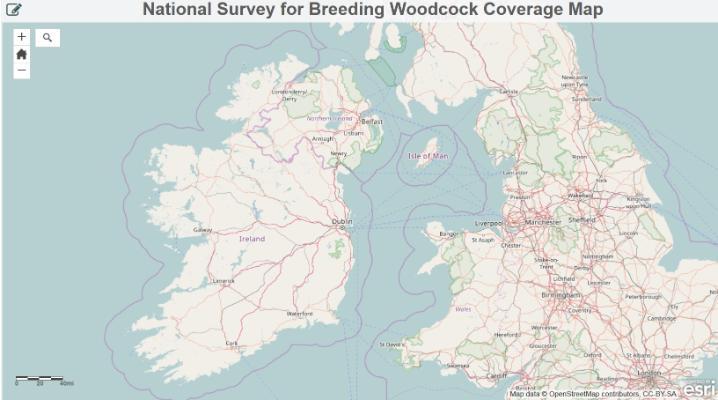
The ArcGIS Coverage Map combines the latest datasets of woodland distribution from the Forest Inventory and Planning System, Corine Land Cover and Coillte. This Coverage Map will monitor observer uptake and distribution.
A. Choose a Survey Zone
First, choose a survey zone by clicking on the map below and follow these instructions:
- Zoom in on an area you would like to survey
- Click on or select the Blue zone you want to survey
- Take note of the identification number (FID) of your chosen survey zone.
- Email me (James O’Neill) at jamesboneill@umail.ucc.ie and let me know which survey zone(s) you would like to survey.
- I will amend the map to show that the survey zone has been claimed; it will turn from blue to red meaning that nobody else can now survey that zone.
- Thus, if a zone is already red, this means somebody else has chosen it, so please choose another zone.
If you would like to survey a woodland, but the location is not indicated by a blue zone on the map, please get in contact with jamesboneill@umail.ucc.ie.
Please ensure that the site(s) you have chosen are feasible for you to visit under the relevant Covid-19 restrictions and guidelines.
You may choose to claim as many survey areas you like. However, please only claim a zone if you are reasonably certain that you can commit to surveying it.
B. Choose a Single Fixed Point Within Your Survey Zone
You will probably need to do a pre-survey visit to your survey zone to establish the best place to locate your count point. Choose a single fixed point within your survey zone, preferably in the middle of the single biggest block of woodland within your zone.
It is important that this location is not under closed canopy, make sure you can see the sky so that roding woodcock will be seen and heard more easily. Ideal survey locations include forest clearings, wide firebreaks and woodland rides.
This is the point from which you will conduct ALL observations. It will be very important that you remain at the same point for the duration of all counts.
Please adhere to all relevant Covid-19 guidelines during your site visits.
Now that you have selected your survey location, please proceed to Step 2 to carry out the survey.
Method Steps
This is an online survey which takes a few moments to complete. Select the steps below for more information on each.
This research is funded by the NARGC with the IRC and additional support from GWCT. For more information on Woodcock Breeding Survey please contact James O’Neill or your local NARGC rep from the website linked from their logo.


