The development of robust predictors of seabird behaviour at sea
Project Overview
Seabirds are declining at a rate faster than those of any other group. Ireland has an obligation under EU legislation to protect it’s seabirds, making it necessary to understand how seabirds use the marine environment and better mitigate against impacts. For example, designation of Marine Protected Areas will benefit birds that are susceptible to fisheries bycatch or oil spills by feeding or resting on the sea surface, but be of less benefit to birds that fly over the area. Broad information on the distribution of seabirds gathered from at-sea surveys and GPS tracking of seabirds can be supplemented with behavioural information from depth sensors and accelerometers to provide high-resolution information on seabird activities. This will be used to explore the interactions between seabirds and human maritime industries. The information generated will feed into the process of designating protected areas for effective conservation, contributing to the EU Habitats Directive and the Marine Strategy Framework Directive. Data will also contribute to assessing environmental impacts from offshore development, including the oil & gas and emerging marine renewable energy (MRE) industries.
This project will:
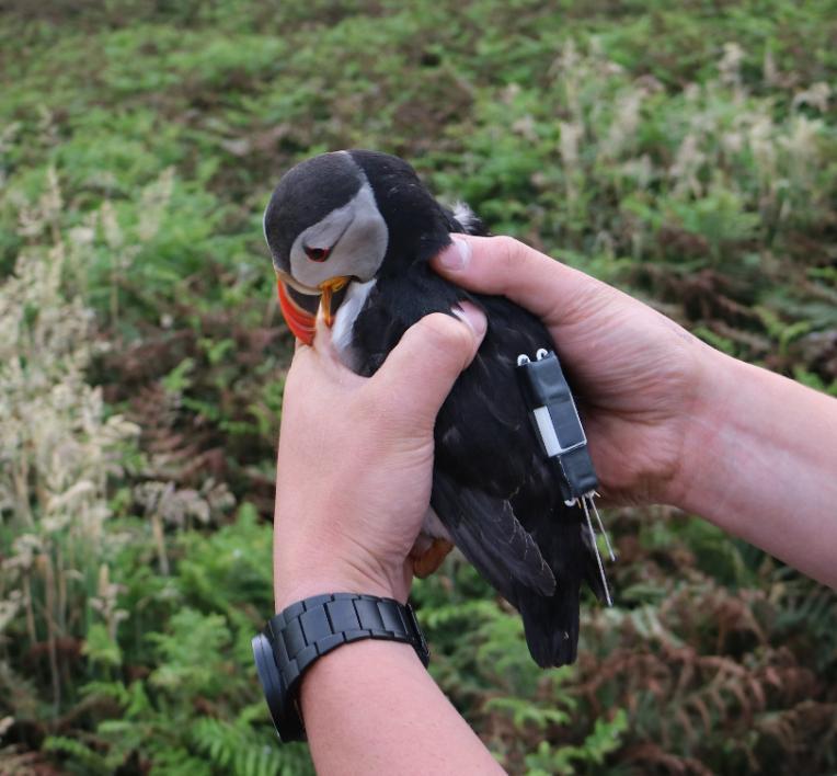
- Collect high-resolution depth and accelerometry data and use this to better define behaviours (diving, resting, feeding and flying) to understand how seabirds use the marine environment
- Identify offshore hotspots or areas of high usage for seabirds and where seabirds are most likely at risk from human activities
- Explore correlations between seabird distribution and environmental variables to predict seabird distribution in poorly surveyed areas.

People
- Dr Mark Jessop
- Ashley Bennison
- Professor John Quinn

