FLARES – Fire, Land and Atmospheric Remote sensing of EmissionS
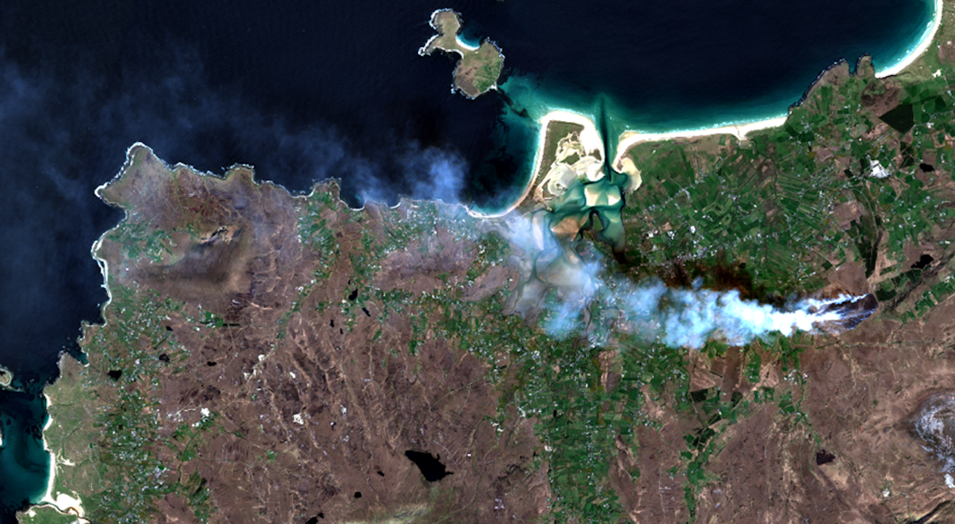
Fires, Land and Atmospheric Remote Sensing of EmissionS (FLARES) aims to develop systematic approaches to the acquisition and collation of a range of data on agricultural and uncontrolled wildland burning burn events from satellite datasets. These will be validated by in situ observations, and measurement of relevant emission factors for Irish wildfires, with the objective of improving the accuracy and reducing uncertainty in the quantification of annual greenhouse gas and particulate emissions. The work builds on previous EPA-funded work to characterise upland habitats from satellite imagery, thus enabling the type of vegetation burned to be identified, and biomass lost to be calculated. The reliability of existing satellite and ground datasets will be evaluated, and proposals made for future operational air quality monitoring by drawing on the inter-disciplinary approaches of the Earth Observation and Atmospheric Chemistry expertise within the consortium.